Professional Drone Services – Thermal Imaging, Aerial Photography & Inspections in Minnesota & Wisconsin
From high-resolution aerial photography to advanced thermal imaging, North Star Aerial Solutions delivers precision, clarity, and results for projects across Minnesota and Western Wisconsin.
At North Star Aerial Solutions, we provide FAA-certified drone services for businesses, contractors, real estate professionals, and property owners. Whether you need detailed roof inspections, construction site progress tracking, or cinematic aerial video, our state-of-the-art drone technology captures every angle with unmatched accuracy. Serving Minnesota and Wisconsin, we combine technical expertise with creative vision to deliver the data and visuals you need — fast, reliable, and on budget.
Our Professional Drone Services
Thermal Imaging & Infrared Inspections
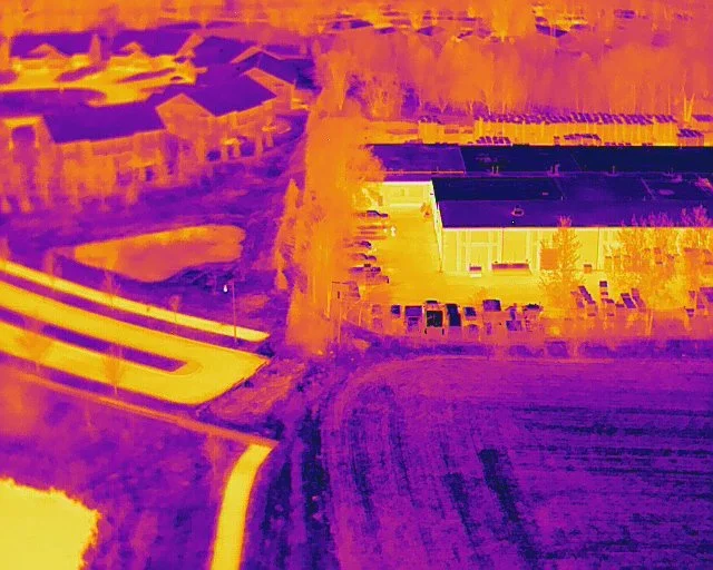
Identify hidden issues before they become costly problems. Our thermal drone technology detects heat loss, water intrusion, and electrical faults with pinpoint accuracy — ideal for roofs, solar panels, and building inspections.
Roof & Building Inspections
From residential homes to commercial structures, our aerial inspections provide high-resolution images and video without the cost or risk of traditional methods. Perfect for insurance claims, maintenance planning, and safety checks.
Construction Progress Monitoring
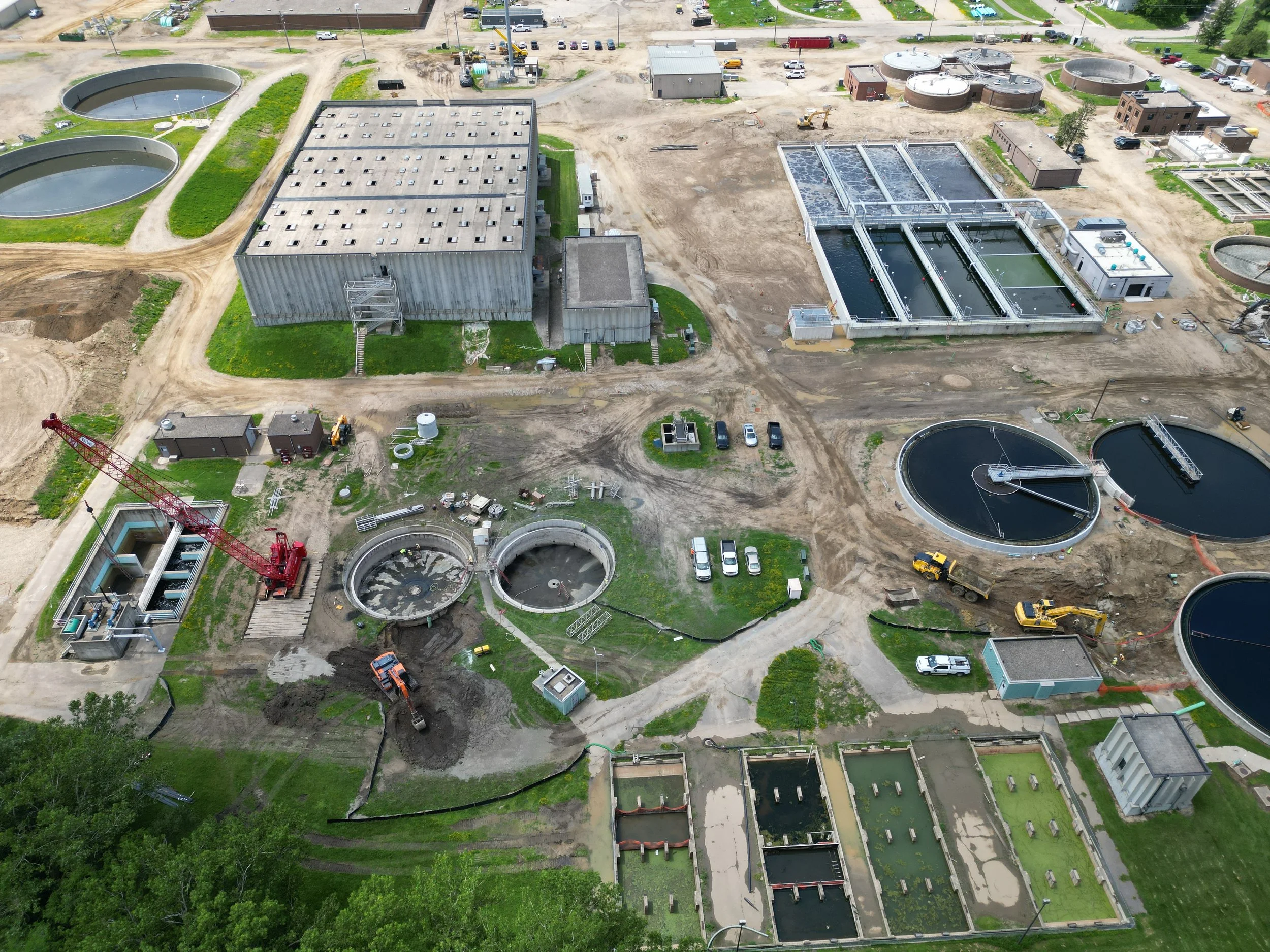
Track your job site’s progress from above with regular aerial updates. Our drones provide detailed mapping, measurements, and visual documentation to keep your projects on schedule and stakeholders informed.
Real Estate Aerial Photography & Video
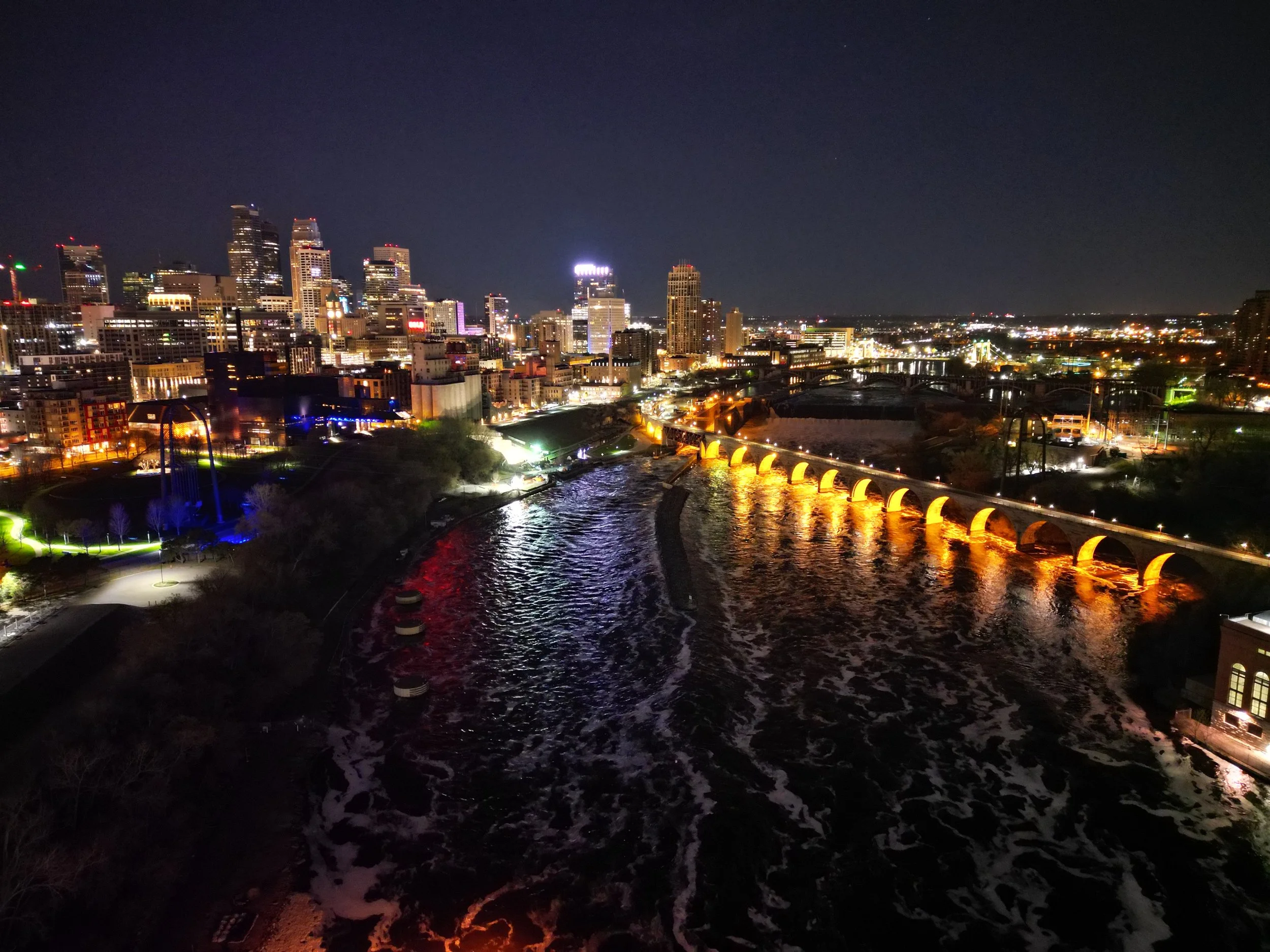
Make your property listings stand out with cinematic aerial views. We capture stunning photos and smooth 4K video that highlight your property’s features and surrounding area.
Bring your brand or event to life with dynamic drone footage. From tourism spots to corporate events, we deliver eye-catching visuals perfect for social media, websites, and advertising campaigns.
Marketing & Promotional Aerial Video
Service Area Mapping & Surveying
For farms, developments, and large properties, we provide accurate aerial mapping and survey data to assist in planning and analysis.
Schedule a Free Consultation
Let’s talk about your project. Whether you need a quick aerial photo shoot, a full thermal inspection, or ongoing job site monitoring, we’ll walk you through the best options for your needs and budget.
Our consultations are free, no-pressure, and can be done over the phone or via video call.


